Anyone who was up on Mount Hood the weekend of January 26-27 understands the meaning of the June-uary inversion pattern that has been hammering the mountain in recent years.
The higher you climbed on the mountain, the warmer it got, reaching well over 50 degrees up on Cascade and the Magic Mile. Down in Portland and the Gorge it was chilly; up on the chair lifts it was downright balmy. People were skiing with their jackets unzipped and hanging out around the Mazot in tee shirts. Some high school racers got in trouble for revealing too much skin in the lodge, but in their defense it was awfully hot out to be trapped in skin-tight Lycra.
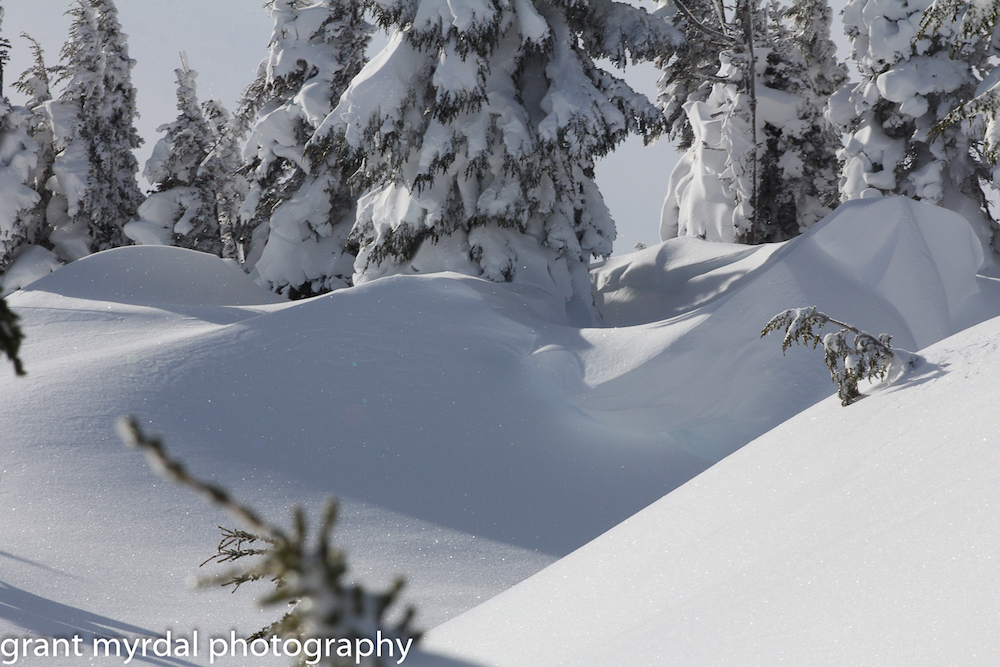
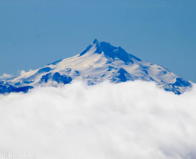
A burst of warmth in the middle of January can make for a fun day on the mountain, with stellar views of Mount Jefferson rising up above the gloomy clouds below. It can also wreak havoc on snow depth and snow quality. We went from good coverage to bare spots at Ski Bowl in one week, and every time the snow refroze overnight after a balmy day it hardened the slopes into what ski resorts call hard-pack and the rest of us know as ice.
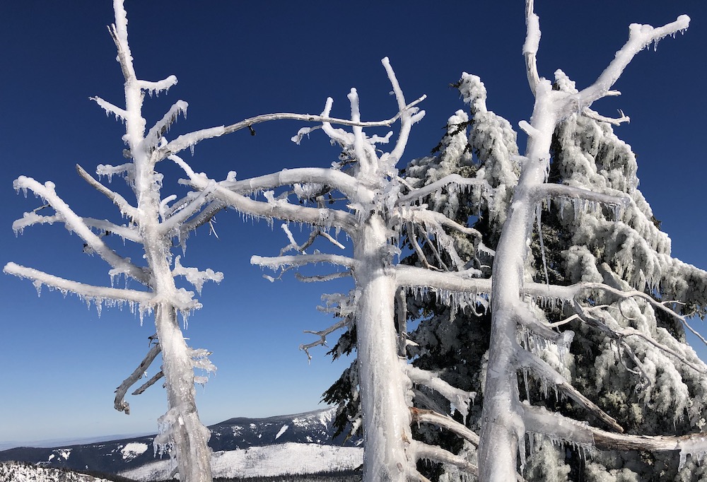
That was before winter returned with a vengeance in early February. The wind chill dropped to below zero at 6,000 feet on the morning of February 6 and stayed sub-zero for four hours. We didn’t get the face-freezing cold that the Midwest got from the rupture of the polar vortex, but we did get snow from the Cascades to the Pacific Ocean. A storm cycle earlier in the week dropped five inches of very light snow on Mount Hood, with more expected the weekend of February 9-10.
This is good news for those of us who appreciate the nice, long ski/snowboard season on Mount Hood, especially in places like Clark Canyon, Private Reserve, the Skibowl Outback and the Palmer Snowfield. The snow pack at 6,000 feet is back over 80 inches again, and it is expected to deepen further over the next week or so. Mark Nelson, Fox 12 Chief Meteorologist, predicted on February 8 that “the next 10-15 days will feature the coldest and snowiest weather we’ve sen in the Cascades since last February… Models show 20-30″ falling during Valentine’s Week at Skibowl, and most of that will be very cold snow.”
That’s the best kind. See you up on the mountain!
Last modified: February 6, 2019