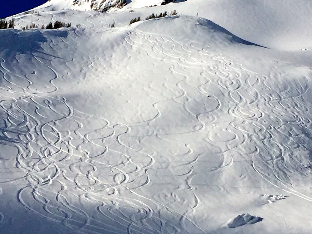
Temperatures plunged from the high 50s to the mid-20s this week on Mount Hood to enable another foot of fresh powder on top of a well-compacted 10-foot base.
Super-warm spring-like weather had powderhounds stressed that the best season in recent memory might be ending early. Not the case. This latest blanketing brought two inches an hour at its Thursday evening peak, boosting the snow depth at 6,000 feet to 112 inches as of Friday, Feb. 19. Over 28 feet of snow have fallen on Mount Hood cumulatively so far in 2015-16.
The National Weather Service, Matt Zaffino, Temira and Rod Hill are all forecasting intermittent snow through the weekend with wintry temperatures and welcome bursts of sunshine.
KGW Chief Meteorologist Matt Zaffino sent out a Powder Alert Thursday predicting “new snow to play with Friday and Saturday, and to a lesser extent Monday. Bluebird conditions come early Sunday, Monday afternoon, Tuesday and probably the end of next week.”
As for the long term, Zaffino wrote, “I see no reason to believe we won’t see more cold storms as we head into March, what many feel is the best ski month of the year.”
Expect crowds over the weekend, but it shouldn’t be as bad as the peak of the season, now that we are getting into the portion of the season for people who understand the snow season in the Pacific Northwest lasts 6-10 months, not 2.
Last modified: February 19, 2016