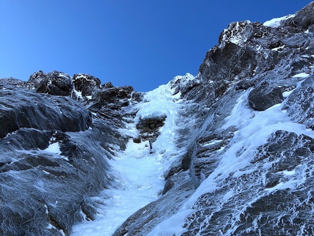
It’s worth remembering that Mount Hood is an active volcano. One of these days, it is going to blow.
When it erupts, plumes of rock will shoot up thousands of feet above the volcano. Rock, gas, and ash will come blasting out from volcanic vents. The heat will melt tons of ice and trigger powerful mudslides. The mountain’s glaciers contain about 300 million cubic meters of ice, enough to wreak serious havoc if rapidly melted into rushing waters.
We are going to want as much warning as possible.
With three ski resorts, millions of annual visitors to Mount Hood, and the City of Portland just 60 miles downslope, there is no way an eruption of Mount Hood will be a minor event. But early warning systems can limit the damage significantly.
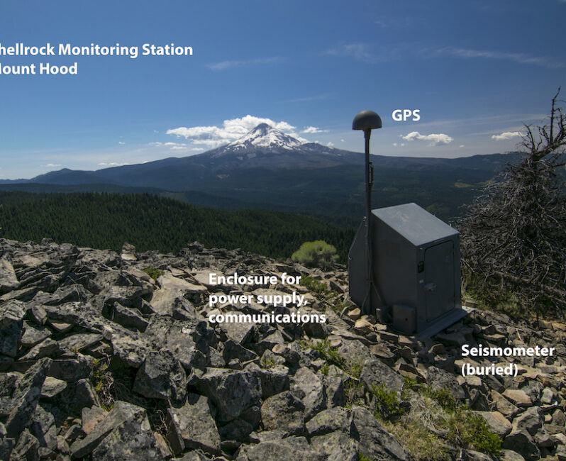
That explains why the U.S. Geological Survey (USGS) has installed three new monitoring stations on Mount Hood within an area designated as wilderness and otherwise protected from development. A five-year bureaucratic delay in setting up the system of sensors due to the wilderness designation finally ended in the autumn of 2019, not long ofter the publication of a major report in the New York Times titled “We’re barely listening to the U.S.’s most dangerous volcanoes.”
The Times report noted that the U.S. lags behind Chile, Japan, and Iceland in volcano monitoring and warned that an unmonitored Mount Hood could erupt with devastating and horrific results comparable to Colombia’s Nevado del Ruiz volcano, which killed 21,000 people in one night in 1985.
Workers flew in via helicopter to install the new USGS monitoring systems on Mount Hood in late September. The sites consist of three sets of co-located seismic and GPS stations, all within 2.5 miles of the summit of the mountain. A fourth ground-based station for continuous volcanic gas monitoring is expected to be installed at a later date. The stations are located away from trails, painted to blend in with the surroundings, and not expected to affect skiing, climbing, or other recreational uses of the Mount Hood National Forest.
Following the successful September installation, the monitors are now producing real-time data accessible to anyone with an internet connection.
The date being generated by the new monitors is extremely detailed.
For example, a quick scan of the data in early December revealed that the mountain experienced two minor earthquakes in two days on December 8th and 9th. The larger of the two quakes occurred at 5 pm Sunday, December 8, with a magnitude of 2.4 and a depth of 1.2 miles.
According to the USGS, the largest earthquake recorded with modern monitoring in the vicinity of Mount Hood was a magnitude 4.5 in 2002 that was followed 4 hours later by a M 3.8 aftershock. Earthquakes with magnitudes of 3.0 or greater also occurred in 1989, 1990, 1996, and 2010. These clusters often occur in swarms with three or more earthquakes in a day. Between June 29 and August 18 of 2002 more than 200 earthquakes followed a June 29 quake of magnitude 4.5.
It is always worth remembering that Earthquakes are measured in a logarithmic scale, so the difference between a 3.5 and a 7.0 is exponential and enormous. It is unknown how large the last major earthquake on Mount Hood was on the logarithmic scale in the 1780s. But it was large enough to set off huge avalanches and landslides that crushed everything in their path.
Which is why it makes sense to be flexible on the wilderness rules sometimes. Large volcanoes rarely blow without warning, and the sooner we see the warning signs, the better we can respond to an eruption that will be terrifying when it blows.
Last modified: January 22, 2020