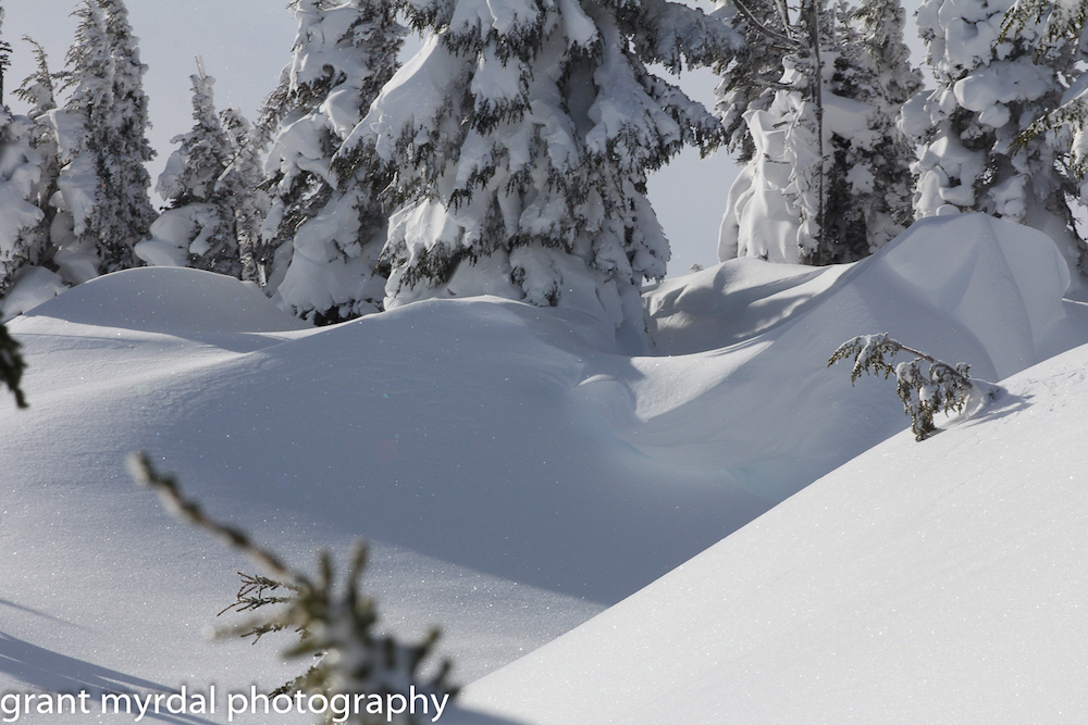
The Snow Gods have been smiling down upon Mount Hood, and forecasts are calling for another foot and a half of fresh snow to fall this weekend.
The first major storm of 2016-17 brought 17 inches of fresh snow in 24 hours between Sunday and Monday, and another nine inches fell overnight on Wednesday.
As of Friday afternoon, the snow base depth is 41 inches at Timberline Lodge and 36 inches at the base of Mt. Hood Meadows. Meadows is running its Mt. Hood Express and Shooting Star lifts and Timberline is running Molly, Stormin’ Norman and Jeff Flood. Skibowl is opening its tubing hill this weekend and planning to start its ski/snowboard season next week.
Thousands of people hit the mountain this week, and reports have been overwhelmingly positive after months of pent-up demand. The more adventurous among us have been sending it off rocks at Meadows (watch out for those barely buried obstacles!), exploring terrain all the way up to the summit, finding all sorts of good snow in the nooks and crannies. We’ll have a story coming soon from summit guru Asit Rathod about early-season high-altitude adventures. Just remember to keep an eye on the avalanche forecasts before you head off into the unknown! NWAC is predicting considerable avalanche danger for Sunday on Mount Hood.
The good news is, the temperature has stayed below freezing at 5,000 feet all week, and a weekend winter storm is in the works that could prove a whopper. The Weather Service is predicting 8-15 inches between Saturday and Sunday, snow-forecast.com is calling for 10.6 inches through Sunday and another 8.6 inches on Monday, and Temira is predicting 5-8″ Saturday night, another 5-8″ Sunday and 3-5″ of dry powder on Monday.
Most importantly, freezing levels are expected to drop from 4300 feet or so on Saturday morning all the way down to sea level by Sunday evening. We may get a touch of rain as the storm hits, but it should cool right down and switch to snow. Sunday’s looking good, Tuesday even better…
Bring it on!
Last modified: December 3, 2016


